
Status Yellow thunderstorm warning issued for Louth

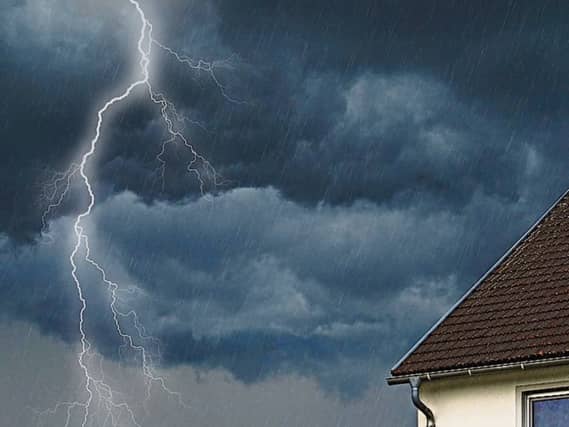

The incoming weather system is expected to bring heavy showers and scattered thunderstorms
Met Éireann has issued a Status Yellow thunderstorm warning for the Louth. The warning, which also applies to many neighbouring counties, will remain in effect from midnight tonight (Wednesday, 11 June) until 2pm on Thursday, 12 June.
According to the national forecaster, the incoming weather system is expected to bring heavy showers and scattered thunderstorms. These conditions could result in localised flooding, lightning damage and poor visibility making travel conditions difficult.
Cathal Nolan from Ireland's Weather Channel has made two predictions for the coming days.
Cathal said: "Our main focus weather wise this week has to be the period from Wednesday evening through Thursday, and again over the weekend where there’s increasing confidence in the risk of some strong thunderstorms developing across the country. These storms have the potential to cause some local disruption.
"By Wednesday Ireland will lie under a south to southeasterly airflow, with a shallow low pressure to our southwest steering up areas of increased instability from the Bay of Biscay. The combination of warm surface temperatures, high CAPE figures, favourable shear, and cooler upper air temperatures will lead to the development of thunderstorms.
"All areas are at risk, however, the areas most likely to experience the highest chance of disruption looks to be through much of Leinster and East Ulster on Wednesday night. While the risk is more widespread as we go through the weekend. Some areas will escape without seeing these storms however, as is the nature of showers."
Cathal said the risks include some unusual weather for Ireland including "large hail" stones and "frequent lightning." Other risks are localised flooding, power disruption and gusty winds.
READ NEXT: 'People have had enough' - Bizarre reasons Irish tourists face big fines in Portugal hotspot
Speaking about what's causing this weather, particularly the thunderstorms, Cathal added: "A shift in the jet stream will allow high pressure to build to our east while low pressure sits to our southwest before slowly pushing northwards through Wednesday, allowing for a very warm, humid but unstable airmass to become established.
"This plume of very warm air will allow for the rapid development of thunderstorms with favourable CAPE and strong shear, all combining to lead to the development of strong and locally significant thunderstorms with the potential for some disruption in or two locations."