
Drones to be deployed for Limerick road survey
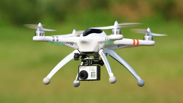

LIMERICK City and County Council (LCCC) will be using drones for a topographical survey to progress the development of the N/M20 Cork to Limerick project.
LCCC has procured Murphy Geospatial Limited to carry out the topographical survey.
The N/M20 project is in partnership with Cork County Council, Cork City Council, Transport Infrastructure Ireland and the Department of Transport.
The project is a priority investment in the Government’s National Development Plan 2021-2030.
Part of this topographical survey will be surveyed using unmanned aerial vehicles (UAVs or Drones).
The survey is taking place on weekdays, 8am to 6pm, until August 15.
LCCC has stated that no personal data will be captured or processed during the aerial survey with the drone flying at approximately 100 metre elevation.
The National Development Plan (NDP) sets out that the N/M20 Cork to Limerick scheme would provide better connectivity between Ireland’s second and third largest cities, Cork and Limerick.
It would improve the quality of the transport network, addressing safety issues associated with the existing N20 route and provide for safer and more efficient journey times.
The project is a key element in Project Ireland 2040 a long term project by the Irish Government.