
ALERT: Met Éireann's latest five-day Irish weather forecast as temperatures plummet
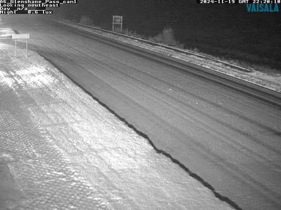

Met Éireann's latest five-day Irish weather forecast has been released
A cold day on Wednesday with frost and icy stretches on untreated surfaces, lingering in some spots through the day.
Dry with sunshine for many but scattered showers of sleet and snow will continue in the north and northwest.
Turning cloudier in the afternoon with a spell of heavy rain moving into the west and southwest, turning to hail, sleet and snow at times as it spreads inland.
Afternoon highs of just 3 to 6 degrees in light northwesterly or variable winds.
Rain will spread across the southern half of the country on Wednesday night, turning to sleet and snow at times away from coasts with some accumulations possible.
Further north it will be mostly dry with scattered wintry showers continuing in Ulster and north Connacht.
Very cold with lowest temperatures of -4 to 0 degrees in light to moderate easterly or variable winds. Widespread frost and ice will develop.
Thursday: Outbreaks of rain, sleet and snow will clear to the south Thursday morning, leaving another very cold day with showers of rain, sleet and snow, most frequent across Connacht, Ulster and west Munster.
Some icy stretches will linger through the day with temperatures reaching just 1 to 4 degrees in light to moderate northwesterly winds, fresher near northern coasts.
National Outlook
Overview: Cold with frost and icy patches developing during the nights, slow to clear during the days. Some falls of sleet, snow and hail at times. Turning milder and more unsettled for the weekend.
Wednesday night: Rain will continue to push in from the Atlantic with some uncertainty in its track but mainly affecting Munster, part of Connacht and later parts of south Leinster.
Falls of sleet and snow are likely with some accumulations possible, particularly in the southwest.
Elsewhere will be mostly dry with wintry showers continuing near northern coasts though some patches of fog or freezing fog may develop.
Frost and ice will develop with lowest temperatures of -4 to +1 degrees in light to moderate easterly or variable winds, freshening at times for Munster
Thursday: Outbreaks of rain, sleet and snow will clear from southern areas through the morning to leave another cold day with scattered wintry showers, most frequent for northern and Atlantic areas. Highest temperatures of 2 to 5 degrees generally in light to moderate northwest winds, a little milder near Atlantic coasts where the winds will be fresher.
Thursday night: Cold with frost and icy stretches developing again. Dry with clear spells for most though scattered wintry showers will persist near northern and Atlantic coasts. Lowest temperatures of -2 to +2 degrees in moderate westerly winds, fresher near coasts.
Friday: Cold, bright and mostly dry to start with continued wintry showers near northern and Atlantic coasts. The sunshine will turn hazier through the day and the showers will ease. Highest temperatures of 4 to 8 degrees generally in mostly light westerly winds.
Friday night: Some uncertainty in the timing but current indications suggest it will turn wet and windy from the southwest overnight. Some transient falls of sleet and snow are possible early on but will quickly turn to rain with strengthening southeasterly winds. Localised flooding is possible. Lowest temperatures early in the night of 0 to 4 degrees for most but -3 to 0 degrees in Ulster.
Saturday: A wet and windy day with heavy spells of rain leading to localised flooding. Much milder with highest temperatures of 11 to 14 degrees.
Sunday: A breezy or windy day with showers or longer spells of rain. Highest temperatures of 9 to 12 degrees in strong southwesterly winds.