
HIGH TEMP ALERT! Mercury could soar as high as 27C this week in Ireland!
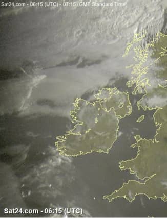

Amazing!
Monday will be a warm day as temperatures get up to as high as 27C with plenty of sunshine, says forecaster Alan O'Reilly.
He added: "A warm night ahead also as temperatures could stay above 18C for many parts overnight. Time to go back to the summer duvet for a few days."
"Warmer air has finally moved up over us again and staying around for the coming week with temperatures above normal."
Met Eireann's five-day forecast is below:
MONDAY
Any mist or fog patches will soon clear to leave another warm or very warm day with mostly sunny skies. Coastal fog may develop locally.
Top temperatures generally ranging between 22 and 26 degrees, in light to moderate easterly or variable breezes. Monday night will be warm and humid with mostly clear skies. Later on, some showers may move into the southwest.
Lowest temperatures of 13 to 18 degrees in just light easterly breezes. Some mist and fog may possibly develop across Ulster.
TUESDAY
Tuesday will be another warm or very warm day. While it will be mostly sunny, a few well scattered showers are likely with the focus of these across the southwest and west. Top temperatures of 22 to 26 degrees, warmest away from east and south coasts, in no more than moderate easterly breezes.
NATIONAL OUTLOOK
Very warm, both by day and night with the increasing likelihood of thundery showers breaking out.
TUESDAY NIGHT
Warm and muggy with temperatures of 14 to 17 degrees, all in just light southeast breezes. While most areas will stay dry and clear, isolated showers may develop.
WEDNESDAY
Not quite as sunny as recent days with cloud building at times, producing scattered showers, some of which may turn heavy. Very warm and humid, with top temperatures of 22 and 26 degrees, in no more than moderate southeasterly winds. Sultry again overnight, with temperatures not falling below 15 to 18 degrees as a southerly airflow persists. Some thundery showers will occur, with the east and southeast most at threat.
THURSDAY
Scattered heavy or thundery showers with warm or very warm sunshine at times too. Top temperatures of 20 to 26 degrees, warmest in the east and northeast, in no more than moderate southwesterly breezes. Patchy rain and some mist in parts overnight with lows of 13 to 18 degrees.
FRIDAY
A mix of cloud and warm spells of sunshine. A few well scattered showers will occur, mainly confined to southern areas later. Top temperatures will range 19 to 24 degrees, warmest away from western and northwestern areas, as light westerly breezes develop.
FURTHER OUTLOOK: Some scattered outbreaks of rain, but warm or very warm sunny spells too.