
Council lodges €500k part 8 application for trailhead for Kildare's Barrow Blueway

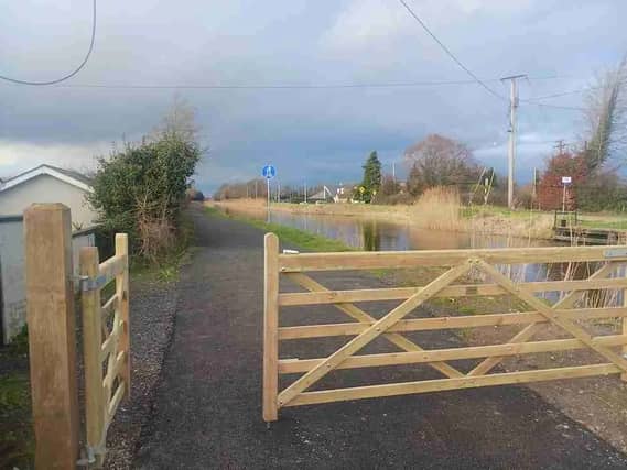

The part 8 was lodged by the local authority on April 1 2026
A part 8 planning application has been lodged by Kildare County Council for the provision of a €500k trailhead facility (designated starting point) for the Barrow Blueway in Kildare.
According to Construction Information Services (CIS), the part 8 was lodged by the council on April 1 2026.
The scheme comprises:
-
the provision of a trailhead facility for the Barrow Blueway;
-
a new shared space entrance/exit road;
-
parking facilities including 17 car parking spaces (including two accessible);
-
16 bicycle spaces (including two accessible);
-
three bicycle storage lockers;
-
one pedestrian access link to the Barrow Blueway towpath.
The facility is to also include ancillary greenway amenities including lighting, play area, benches, picnic tables, bins, and associated signage.
The total site area is 0.22ha, and the architect for the project is Fehily Timoney & Company.
According to Greenways Ireland: “The Barrow Way is a towpath along the River Barrow. It is a popular walking route and is also used by cyclists. The route is 120km long.
“It starts in Robertstown, Co. Kildare following the Barrow Line to Athy where it joins the River Barrow tow path and goes all the way to St. Mullins in south Carlow. The Barrow Way passes through the towns of Rathangan, Monasterevin, Athy, Carlow, Leighlinbridge, Muine Bheag, Goresbridge, Borris and Graiguenamanagh.”