
Hazardous freeze warns Met Éireann which has warning for all counties
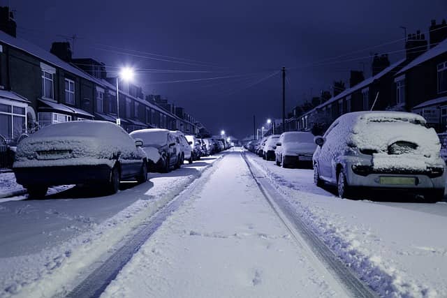

Met Éireann has put Laois and the rest of Ireland under a blanket Status Yellow alert which includes a warning to drivers of 'hazardous' icy conditions.
The Status Yellow ice warning says icy stretches will lead to hazardous travelling conditions while wintry showers featuring snow and possibly freezing rain is also on the cards. The alert also cautions of freezing fog patches.
The warning follows snow in many parts and a limited thaw through Wednesday. The alert is valid from 7pm on Wednesday to noon on Thursday.
In its national forecast, Met Éireann expects Wednesday night to be very cold with frost and icy stretches developing in many areas with lowest temperatures of -4 to -1 degrees.
As for how long the cold snap will last, the forecaster says it will remain chilly with occasional wintry showers, although temperatures are expected to increase by the weekend with much milder conditions expected.
The forecaster has also extended its Winter Weather Advisory to 9am on Friday. It says it will stay cold until Friday with sharp to severe frosts and icy stretches on roads and footpaths. Some showers of hail, sleet and snow are expected with the potential for freezing fog.
National Forecast issued at 4.49 pm on January 18 by Met Éireann
TONIGHT: Very cold with frost and icy stretches developing in many areas, leading to hazardous conditions.Scattered wintry showers will largely become confined to north Ulster. Becoming cloudier in Connacht and Munster with outbreaks of rain and sleet developing. Lowest temperatures of -4 to -1 degrees, colder locally in Ulster and the north midlands. Patches of freezing fog will develop in light and variable winds.
Thursday: Outbreaks of rain and sleet in the west and south Thursday morning with isolated wintry showers elsewhere. As the day goes on it will become mostly dry and bright, although some patches of mist and fog may linger as winds stay light and variable. Cold with highest temperatures of 1 to 5 degrees.
Another very cold night with minimum temperatures of -4 to -1 degrees. It will be dry with clear spells early on but it will become cloudy overnight and rain or sleet will develop across Connacht, Munster and parts of south Leinster. Patches of mist and fog are likely, in light and variable winds.
FRIDAY: Rain or sleet in the west and south will clear southwards during Friday. Highest temperatures of 3 to 8 degrees, coldest in Ulster and Connacht, with a light southerly or variable wind.
Cloudy with scattered outbreaks of rain and drizzle overnight. Lowest temperatures of -1 to +6 degrees, coldest in Ulster, with a light to moderate southerly wind.
SATURDAY: Dull with patches of rain and drizzle. Milder with temperatures rising to 7 to 11 degrees, in a moderate southerly breeze. Much milder than recent nights, with minimum temperatures of 7 to 9 degrees, in a light to moderate southerly wind. Cloudy with rain in most areas, heaviest in the west and southwest.
SUNDAY: Another mostly cloudy day with scattered outbreaks of rain. Highest temperatures of 9 to 12 degrees with light southerly winds.
FURTHER OUTLOOK: Staying mild and quite cloudy for the early part of next week, with rain at times.