
WATCH: Snow falling in Laois

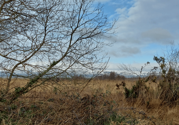

Snow arrived to Laois on Monday night, with scenes of snow capped Slieve Blooms this Tuesday, and recordings by Laois Weather.
Laois Weather is a Durrow based Met Éireann climatological station.
Here is their forecast for the rest of this week.
"TUESDAY: Clear skies to begin, frost slowly clearing. Remaining mostly sunny for the day with highs of 4c to 6c at best in a light northerly breeze. OVERNIGHT will be clear and frosty as winds drop quite light or calm. Very frosty with lows getting down to between -5c and -2c. Cloud building from the south towards dawn.
"WEDNESDAY: A generally overcast day is forecast with the *risk* of an organised band of sleet or snow pushing up from the south later in the day - but it is generally expected to remain dry. Winds light northeast at first, backing east to southeast later and freshening. Highs reaching 2c to 5c, best during any breaks in the overcast conditions. OVERNIGHT: Remaining cloudy and cold in a fresh east to southeast wind. Scattered outbreaks of sleet and snow are likely. Lows of -1c to +2c.
"THURSDAY: Outbreaks of sleet and snow in the morning, possibly reverting to rain during the afternoon as temperatures creep up slightly to range 3c to 6c in a fresh east wind. OVERNIGHT: Remaining cloudy with further outbreaks of rain, sleet and snow. Cold with lows of -1c to +3c in a fresh east to northeast wind.
"FRIDAY: Uncertainty surrounds the forecast for Friday as a warm front pushes in from the southwest. The progress of this front and how far north over Ireland it pushes will determine if the day will consist of heavy rain, sleet or snow. Temperatures ranging from 1c to 3c in the colder airmass, but reaching 6c or 7c in the milder airmass. Winds east to northeast ahead of the warm front, backing south to southwest behind the warm front.
"OUTLOOK: There is great uncertainty in the forecast from Friday onwards, there is a possibility of mild air pushing well to the north introducing higher temperatures and showers, equally though there is a possibility of further sleet and snow if the warm front stalls over the south of Ireland."