
Weather Warning: Met Eireann warns of snow and freezing temperatures with Arctic airflow set to bring winter blast
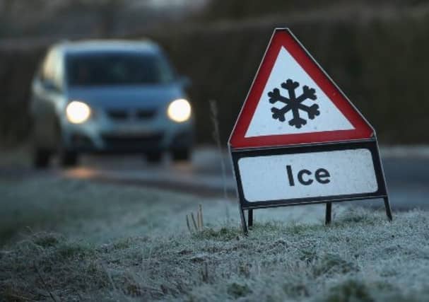

Met Eireann is warning of possible snow for Ireland with temperatures set to plummet in the coming days as an Arctic airflow hits Ireland.
The weather in Ireland is set to turn cold for a time with widespread overnight frosts and ice on untreated surfaces. There'll also be some sleet and snow showers. Turning milder again from the southwest during Thursday.
Over the coming days, temperatures are set to drop as low as -6 degrees with sleet and snow showers in the forecast.
Met Eireann has issued a Status Yellow Ice Warning for Ireland from 6pm on Sunday until noon on Monday.
Met Eireann is warning that icy stretches are likely on roads on Sunday night and Monday morning. Hazardous travelling conditions are expected, especially on untreated roads and footpaths. Some patches of freezing fog are also possible.
Met Eireann has also issued a Winter Weather Advisory for Ireland. Met Eireann is warning that it will turn cold across the country between Sunday evening and Thursday morning as an Arctic airflow becomes established, bringing sharp to severe frosts and icy stretches on roads and footpaths. Some showers of hail, sleet and snow are expected with the potential for freezing fog. Further updates to the advisory and warnings are expected in the coming days.
The weather forecast for Ireland from Met Eireann for the coming days is as follows.
Cold tonight (Sunday) with a widespread sharp frost and icy stretches. Temperatures will fall to between -3 and +1 degrees towards morning, lowest in Ulster. Scattered wintry showers will continue for a time, most frequent in Atlantic coastal counties, generally clearing later in the night. Some patches of freezing fog also possible in light northwesterly or variable winds.
According to Met Eireann, it will stay dry in most areas tomorrow with patches of frost and ice lingering through the morning. There will be a few showers of sleet, generally along Atlantic coastal areas, with isolated snow flurries also possible. There will also be occasional sunny spells, mainly towards the east. Highest temperatures of 1 to 5 degrees in light and variable breezes.
Widespread sharp frost with temperatures falling to between 0 and -4 degrees or -5 degrees on Monday night. Clear spells with scattered wintry showers. Outbreaks of sleet and snow may affect parts of the west and south too. Some freezing fog will likely form with little wind over land.
Tuesday will be cold with lying frost or ice. There will be some sleet and snow showers in places. Bright or sunny spells too. Afternoon temperatures of just 1 to 4 degrees with light to moderate variable or northerly breezes, fresher near Atlantic coasts. Lowest temperatures of -2 to -6 degrees overnight with further sleet and snow showers. A sharp to severe frost with icy stretches and lying snow in parts. Some freezing fog patches too.
Wednesday will see sunny spells with scattered wintry showers, mainly in the west and north. Highs of 3 to 6 degrees but feeling very cold in a brisk northerly wind. Temperatures will likely fall below zero again on Wednesday night.
Turning much milder on Thursday with a spell of rain and fresh southerly winds moving in from the Atlantic. The rain will be preceded by some sleet and hill snow for a time in the north and east.
Friday looks fairly dry and bright with temperatures of 5 to 10 degrees, coldest in the northeast. Mild and changeable for next weekend with temperatures around 8 to 10 degrees.