
Snow brings widespread major disruption amid amber weather warnings
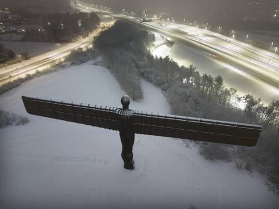

Heavy overnight snow is causing widespread disruption across the UK as the cold start to the new year continues.
Several major airports have been forced to suspend flights while some key roads in northern England remained shut.
The Met Office said some rural communities could be cut off, with up to 40cm of snow on ground above 300m before conditions ease later on Sunday.
Manchester and Liverpool John Lennon Airport both closed runways on Sunday morning due to heavy snow.
Birmingham Airport had suspended operations for several hours overnight “for snow clearing and safety reasons”, but said it was on schedule for “business as usual” on Sunday.
Bristol Airport reopened at about 11pm on Saturday but warned of ongoing delays because aircraft were out of position following flight cancellations.

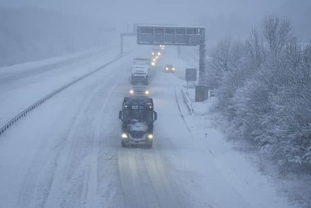
National Highways warned that up to 25cm of snow could affect roads in northern England.
Snow closed the A628 Woodhead Pass which connects Greater Manchester and South Yorkshire through the Peak District overnight in both directions between the A616 at Flouch and the A57 at Hollingworth.
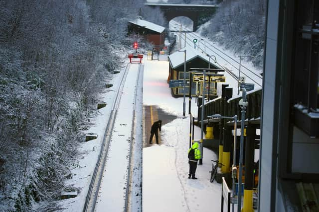
National Rail said the line between Leeds and Halifax via Dewbury was closed in both directions, with disruption on northern routes expected into Monday.
One lane of the northbound A3 in Hampshire was closed on Sunday morning due to flooding following overnight snow, National Highways said.
The Environment Agency issued three flood warnings for Sunday morning on the River Taw and the River Torridge in Devon, and on the River Brue in Somerset.
The National Grid said it had been working to restore power after outages across the Midlands, south-west England and South Wales on Saturday. The company’s live map shows power cuts across the region on Sunday morning, including in Birmingham, Bristol and Cardiff.
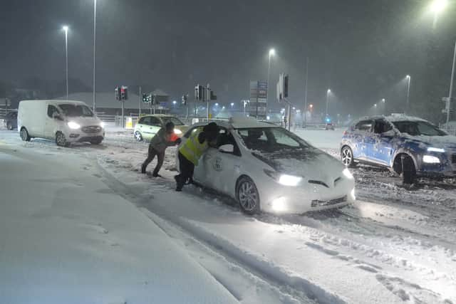
The Met Office said Bingley, West Yorkshire, had seen 12cm of snow up to 7am on Sunday, with Shap in Cumbria and Capel Curig, Gwynedd, both seeing 10cm.
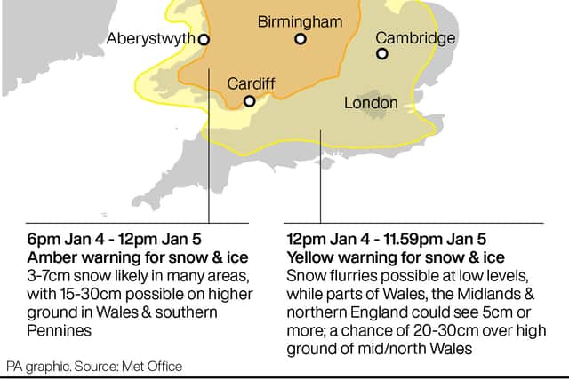
One amber warning for snow and freezing rain, which covers much of Wales and the Midlands as far north as Manchester, is in place until midday on Sunday.
Higher ground in Wales and the southern Pennines could see 15cm to 30cm of snow, the forecaster said, with milder air leading to a rapid thaw in the south of the warning area through Sunday.
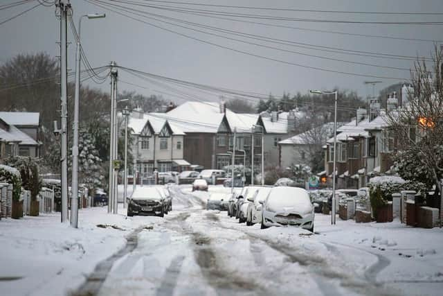
National Highways also warned rain may initially fall on frozen ground and lead to ice, with areas of high ground, including the Cotswolds and Peak District, most at risk.
A yellow warning for snow and ice covers most of the remaining parts of England and Wales until midnight, while a similar warning covers large parts of Northern Ireland from 6pm on Sunday.
The north of Scotland is covered by a yellow warning for ice until 10am on Sunday, with another for snow and ice in the east of central Scotland until 6am on Monday.
A new yellow rain warning for southern England from Cornwall across to Kent was issued and put in place on Sunday morning and will last until 9am on Monday.
There is also a yellow warning for rain covering much of Wales and the West Midlands on Sunday from 6am to 9pm.
UK Health Security Agency cold weather health alerts for all of England remain in place ahead of a week of low temperatures.
Amber alerts were issued on Thursday and will run until Wednesday, meaning a rise in deaths is likely, the agency said.

The Met Office forecast the sleet and snow will continue to push north on Sunday and be heaviest in northern England and into southern Scotland.
After experiencing freezing rain for a time, the south will turn milder.
Frost and icy patches will continue through the early part of the week, but Monday and Tuesday will become drier with sunny spells and scattered wintry showers. Wednesday will be cloudier with hazy sunshine.
Wintry showers are possible in the south early on Thursday before Friday becomes more settled ahead of a cloud and rain in the west before largely settled conditions from next weekend.