
Gardaí and Jeremiah’s family are concerned for his wellbeing
Search
02 Jan 2026
Please allow ads as they help fund our trusted local news content.
Kindly add us to your ad blocker whitelist.
If you want further access to Ireland's best local journalism, consider contributing and/or subscribing to our free daily Newsletter .
Support our mission and join our community now.
To continue reading this article, you can subscribe for as little as €0.50 per week which will also give you access to all of our premium content and archived articles!
Alternatively, you can pay €0.50 per article, capped at €1 per day.
Thank you for supporting Ireland's best local journalism!

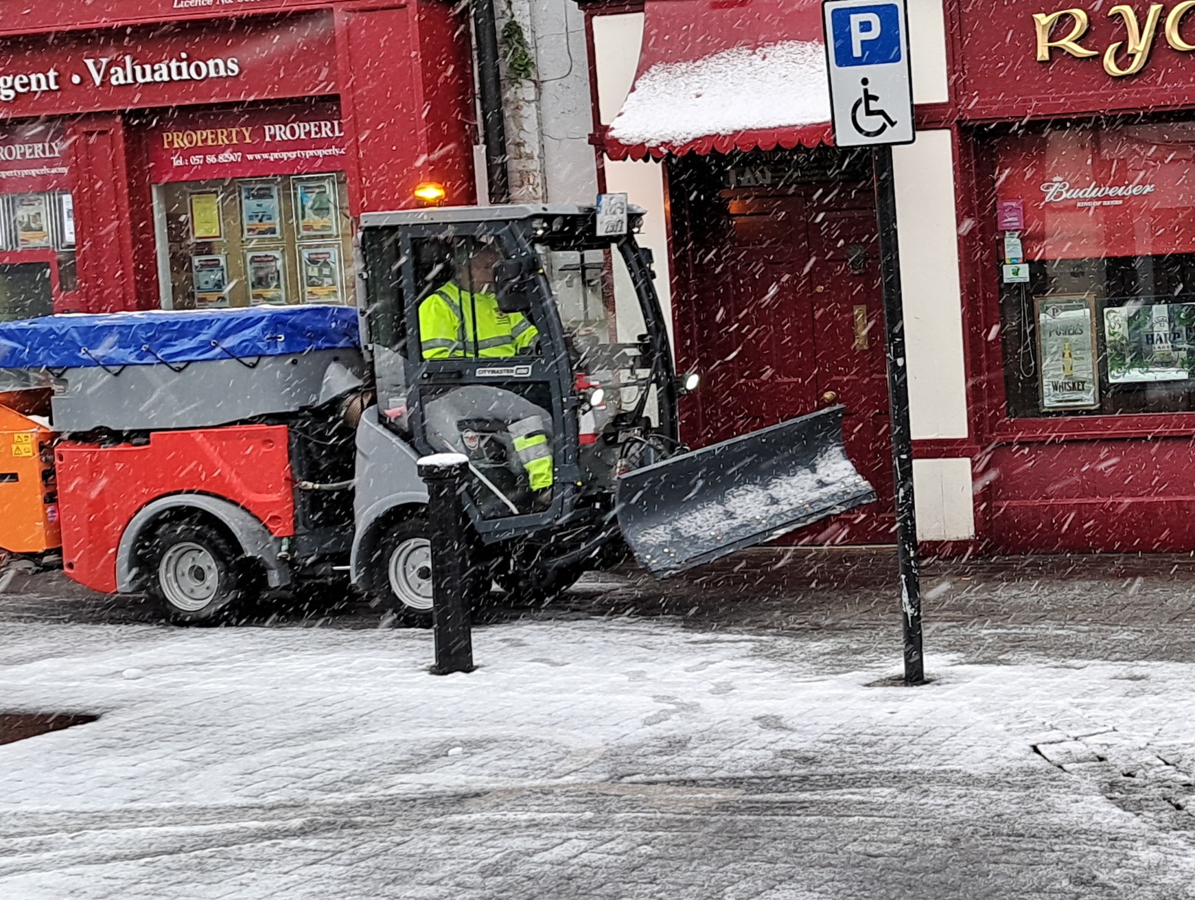
Snow on Market Square Portlaoise. Pic: Leinster Express

With the very cold northerly air-flow forecast to become established over Ireland this weekend, bringing frost, ice and some wintry showers, Met Éireann has the following tips on how to be ready for what the cold snap might bring.
Laois County Council staff clear snow in Portlaoise.
READ ALSO: Leinster Express / Laois Live SNOW TRACKER LIVE
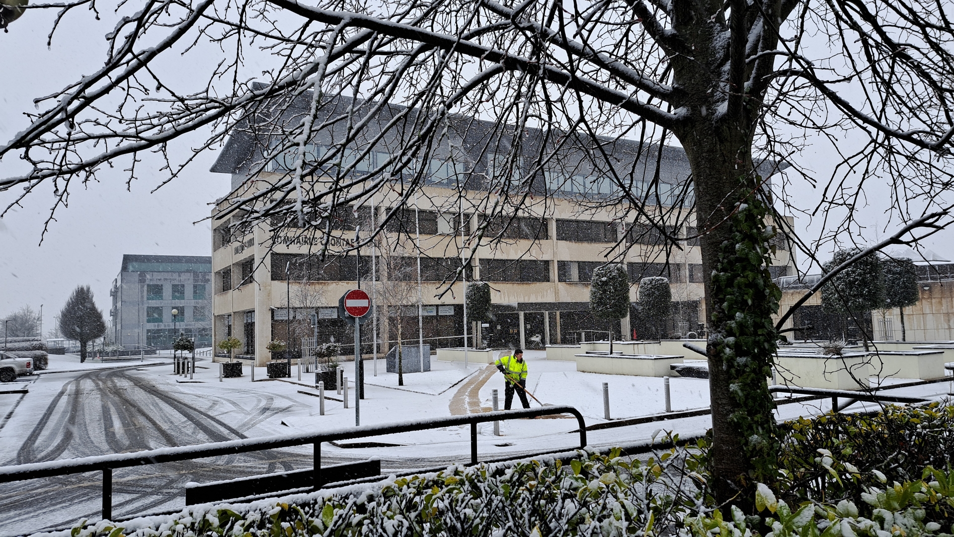
Pictured: Snow clearance work at County Hall in Portlaoise.
Met Éireann says warnings can be updated so it urges people to please keep in touch with Met Éireann’s social media channels, www.met.ie and the Met Éireann app to stay up to date with the forecast and any warnings’ updates. MORE BELOW PHOTO.
-1767367034133.png)
It adds that the timing and location of extreme weather occurrences can significantly affect their impact. Met Éireann also says it’s important to note that in any individual weather event, not every location within a warning area may experience the same degree of weather or impacts.
When severe weather is expected, weather and impacts at lower levels are also likely to be experienced. Met Éireann says the type and level of impacts can be strongly affected by previous weather conditions.
When issuing a warning, Met Éireann says it takes into consideration the forecasted conditions and thresholds, as well as previous weather conditions that may increase the level of impact expected for particular areas.

Subscribe or register today to discover more from DonegalLive.ie
Buy the e-paper of the Donegal Democrat, Donegal People's Press, Donegal Post and Inish Times here for instant access to Donegal's premier news titles.
Keep up with the latest news from Donegal with our daily newsletter featuring the most important stories of the day delivered to your inbox every evening at 5pm.
This publication supports the work of the Press Council of Ireland and Office of the Press Ombudsman, and our staff operate within the Code of Practice of the Press Council. You can obtain a copy of the Code, or contact the Council, at www.presscouncil.ie, Lo-call 1800 208 080 or email: info@presscouncil.ie.


