Search
20 Sept 2025
Search
20 Sept 2025
Please allow ads as they help fund our trusted local news content.
Kindly add us to your ad blocker whitelist.
If you want further access to Ireland's best local journalism, consider contributing and/or subscribing to our free daily Newsletter .
Support our mission and join our community now.
To continue reading this article, you can subscribe for as little as €0.50 per week which will also give you access to all of our premium content and archived articles!
Alternatively, you can pay €0.50 per article, capped at €1 per day.
Thank you for supporting Ireland's best local journalism!


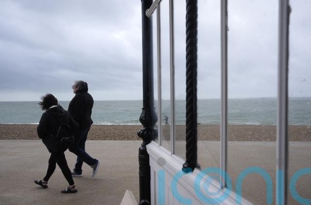
Flood warnings are in place in parts of northern England and wind gusts could reach up to 75mph as the country is hit with stormy conditions in the coming days.
Heavy rain, strong winds and cooler temperatures are expected across the country on Saturday and Sunday, the Met Office said, after a balmy Friday.
The national weather service has warned of flooding and potential disruption to transport across the UK, and particularly in north Wales and northern England which are covered by a yellow rain warning from 9am on Saturday until 3am on Sunday.
Four flood warnings are in place in north-west England, meaning flooding is expected, and residents and business owners are urged to act now to prevent damage to their properties, the Environment Agency said.
A further flood warning is in place for the North Sea coast in the Yorkshire town of Hornsea.
Flooding may affect parts of Wales and northern England this evening, especially northwest England, with heavy and persistent rain in places 🌧️
Some briefly very strong winds may also occur across Wales, the Midlands and northern England with gales a possibility in places ⚠️ pic.twitter.com/movS8Pd6a5
— Met Office (@metoffice) September 20, 2025
Meanwhile, more than 40 flood alerts are in place for England and more than 20 have been issued in Wales.
The Environment Agency said high lake levels near Keswick Campsite in the Lake District are causing flooding and it is expected to continue throughout the weekend.
Blustery winds are also hitting the nation, with gusts of up to 75mph possible around some coasts, leading to a small chance of injuries from flying debris and a slight chance of power cuts, the Met Office said.
A yellow wind warning is in place for the Midlands, Wales and the north of England from 3pm on Saturday until 4am on Sunday.
Temperatures peaked at 27.8C in St James’s Park in central London on Friday, but on Sunday could plummet to lows of 8C.
Met Office Chief Meteorologist, Matthew Lehnert, said: “Through this period, 20-30mm of rain is expected to fall widely across Wales and northern England, with some locations perhaps seeing 60-80 mm.
“Where these higher rainfall amounts fall remains uncertain and it is possible that this warning may be updated if confidence increases, particularly if the heaviest rain falls in urban areas.
“There is also a chance that a short spell of strong, gusty winds could develop as the area of low pressure moves east. Winds will initially strengthen across some western and south-western areas, before migrating north-eastwards, clearing into the North Sea during the early hours of Sunday morning.
“Whilst not everywhere in the warning area is expected to experience very strong winds, some inland locations may see gusts of 50-60mph whilst gusts of 65-75mph are possible around some coasts.
“The strongest winds are likely to be along the Bristol Channel and the west Wales coast this afternoon and early evening, then along the North Sea coast of east and northeast England overnight into early Sunday morning.”

Subscribe or register today to discover more from DonegalLive.ie
Buy the e-paper of the Donegal Democrat, Donegal People's Press, Donegal Post and Inish Times here for instant access to Donegal's premier news titles.
Keep up with the latest news from Donegal with our daily newsletter featuring the most important stories of the day delivered to your inbox every evening at 5pm.
This publication supports the work of the Press Council of Ireland and Office of the Press Ombudsman, and our staff operate within the Code of Practice of the Press Council. You can obtain a copy of the Code, or contact the Council, at www.presscouncil.ie, Lo-call 1800 208 080 or email: info@presscouncil.ie.


