
Geological Survey Ireland chose Murder Hole Beach photo as their image for March

By Alan Foley
Published 3rd Mar 2023, 11:33 GMT
Updated 3rd Mar 2023, 12:16 GMT
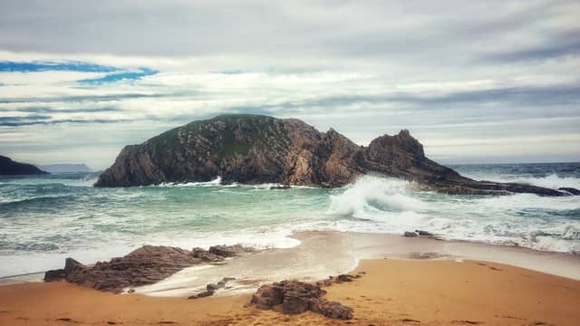

Geological Survey Ireland is the National Earth Science Agency and and for their image for March, they have chosen Annest Griffiths Mawhinny's photograph of Murder Hole Beach
Geological Survey Ireland have chosen a photo from Donegal as their March image of the month.
The photo, by Annest Griffiths Mawhinny is of Murder Hole Beach, Rosquill, and is described as “an island of deformed layers of quartzite and semi-pelitic schist of the Loughros Formation, part of the Dalradian Supergroup."
Founded in 1845, Geological Survey Ireland is the National Earth Science Agency. It is responsible for providing geological advice and information, and for the acquisition of data for this purpose. GSI produces a range of products including maps, reports and databases and acts as a knowledge centre and project partner in all aspects of Irish geology.