
Potential storm with strong winds and flood risk for Waterford this Easter weekend

Met Éireann says weather warnings 'likely'
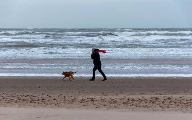
Waterford is bracing for a washout this Easter weekend with Met Éireann warning of wet, windy and potentially stormy conditions.
An advisory has been issued ahead of the Easter bank holiday, with forecasters highlighting the risk of strong winds, heavy rain and possible coastal flooding as "a mobile Atlantic flow affecting Ireland" will move in.
Carlow Weatherman Alan O'Reilly has said there is still "a lot of uncertainty on the exact track and intensity."
Experts have warned potential impacts could include severe or damaging west to southwest gusts, coastal flooding, high astronomical tides (Spring Tides) and strong onshore winds combined with high waves may lead to wave overtopping and flooding in low-lying and exposed coastal areas.
While there is currently no named storm, Met Éireann has said conditions will turn "stormy" at times with weather warnings likely as the weekend approaches.
The unsettled spell is expected to begin on Good Friday, with damp and breezy conditions developing throughout the day before turning increasingly windy overnight.
Saturday is shaping up to be the worst of the conditions, with spells of heavy rain and strong winds forecast nationwide.
Conditions are expected to remain mixed into Easter Sunday, with a combination of sunny spells and heavy showers, along with cooler temperatures.
Met Éireann has advised the public to keep up to date with forecasts over the coming days, as more detailed warnings are expected to be issued.
The timing of the unsettled weather is likely to bring disappointment to many, with thousands expected to travel and take part in outdoor activities over the long weekend.
Temperatures are expected to remain mild, ranging from around 10-14 degrees; however, it will feel cooler at times due to strong winds and persistent rain, particularly in exposed and coastal areas.
Night-time temperatures are expected to drop to around 4 degrees with some chilly conditions developing under clearer skies later in the weekend.