
Weather WARNINGS: Severe stormy weather causes Met Éireann Status Orange and Yellow alerts

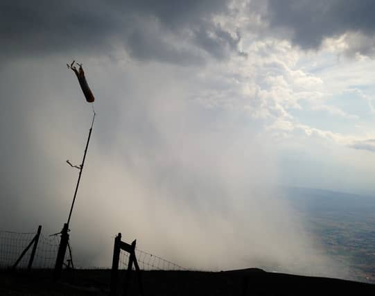

Weather forecast featuring storm force severe gusts, gales and heavy rain has caused Met Éireann to issue Storm Orange and Yellow weather alerts for Wednesday.
A Status Yellow wind and rain warning applies to all of Ireland. Met Éireann warns that very windy will be a feature of Wednesday with widespread gales: southerly veering westerly. It say some will be severe and damaging gusts may occur.
The forecaster says heavy rain will occur, leading to flooding in places.
The Yellow Warning is valid from 4am to 9pm Wednesday, November 2.
The Status Orange Storm warning is in force from Roches Point to Slyne Head to Malin Head. It says south to southwest winds will veer west will reach storm force 10 (up to 96kmph) at times on Irish coastal waters. It is valid from 6 am Wednesday to the early hours of Thursday morning.
A Status Yellow gale warning for all coasts of Ireland and on the Irish Sea is valid from 10pm Monday to 3am Wednesday.
The national outlook from the forecaster is for the weather to stay unsettled with rain or showers on most days. MORE DETAILS BELOW TWEET.
National Forecast issued by Met Éireann at 9.16am on November 1.
Tuesday: Breezy with sunny spells and showers. This morning the showers will spread eastwards and will become widespread this afternoon, some heavy and prolonged with the possibility of hail and thunder. Highest temperatures of 10 to 13 degrees with fresh and gusty southwest or westerly winds.
Showers will gradually die out overnight and it become mainly dry with clear spells. Quite chilly with lowest temperatures of 3 to 6 degrees. Later in the night, outbreaks of rain will spread eastwards across the country with strengthening southerly winds.
Wednesday: Heavy and possibly thundery rain will sweep eastwards across the country with spot flooding in the morning. Southerly winds will be very strong and gusty especially near west and south coasts. In the afternoon, rain will clear eastwards with heavy or thundery showers of rain or hail following. Winds will become westerly and will be very strong or locally stormy with severe or damaging gusts possible, especially in western parts of Connacht and Ulster. Highest temperatures of 10 to 14 degrees.
Very windy early on Wednesday night and possibly stormy for a time in the north of the country with further severe and potentially disruptive wind gusts. There will be a mix of clear spells and showers, some heavy and thundery in Atlantic coastal counties. Lowest temperatures of 3 to 7 degrees in strong to gale force southwest winds.
Thursday: Sunny spells and showers on Thursday, some heavy and prolonged. The lengthiest dry and sunny periods are expected in the east of the country. Maximum temperatures of 9 to 12 degrees with fresh and gusty southwest winds, veering northwest later in the day. Long dry and clear spells developing on Thursday night as showers become confined to Atlantic coastal counties. A rather chilly night with lowest temperatures of 3 to 6 degrees in moderate northwest winds.
Friday: Friday looks set to be a mostly dry day with sunshine and just a few passing showers. It is expected to turn cloudier in the west later in the day. Maximum temperatures of 10 to 13 degrees in light or moderate westerly breezes. A band of rain is expected to sweep in from the Atlantic on Friday night, giving some heavy falls in Atlantic coastal counties. A mild night with lowest temperatures of 8 to 11 degrees with freshening southerly winds.
Saturday: Current indications suggest Saturday will start cloudy and wet with outbreaks of rain pushing eastwards. The rain is expected to clear into the Irish Sea in the afternoon with sunny spells and a few showers following from the west. Maximum temperatures of 12 to 15 degrees in fresh and gusty southerly winds. Often dry overnight, but there will be some showers in Atlantic coastal counties. Lowest temperatures of 7 to 10 degrees in moderate to fresh southwest winds.
Sunday: Early indications are that Sunday will bring plenty of dry weather with sunny spells and just a few showers. Maximum temperatures of 12 to 15 degrees in fresh southwest breezes.