
Hurricane Erin forecast to churn up dangerous swells and winds on US east coast
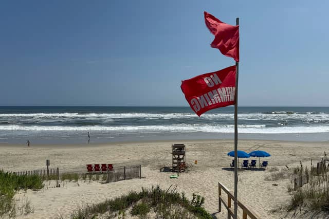

Hurricane Erin moved slowly towards the eastern US coast on Tuesday, stirring up treacherous waves that already have forced dozens of beach rescues days before the biggest storm surges are expected.
While forecasters remain confident the centre of the storm will remain far offshore, the outer edges are likely to bring damaging tropical-force winds, large swells and life-threatening rip currents.
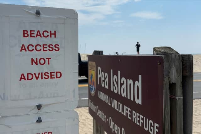
Off the coast of Massachusetts, Nantucket Island could see waves of more than three metres later this week. But the biggest threat is along the barrier islands of North Carolina’s Outer Banks where evacuations have been ordered.
“Enjoy the shore, enjoy this beautiful weather but stay out of the water,” governor Phil Murphy said on Tuesday.

Forecasters expect it will grow larger in size as it moves through the Atlantic and curls north.
It continued to lash the Turks and Caicos Islands on Tuesday, where government services were suspended a day earlier and residents were ordered to stay at home, along with parts of the Bahamas before it is expected to turn towards Bermuda and the US.
Rough ocean conditions have already been seen along the US coast — at least 60 swimmers were rescued from rip currents on Monday at Wrightsville Beach, near Wilmington, North Carolina.
The biggest swells along the East Coast are expected to develop on Wednesday and last into Thursday.
Climate scientists say Atlantic hurricanes are now much more likely to rapidly intensify into powerful and catastrophic storms fuelled by warmer oceans.