
Donegal set for 'Falls of sleet along with some hail and isolated thunderstorms'
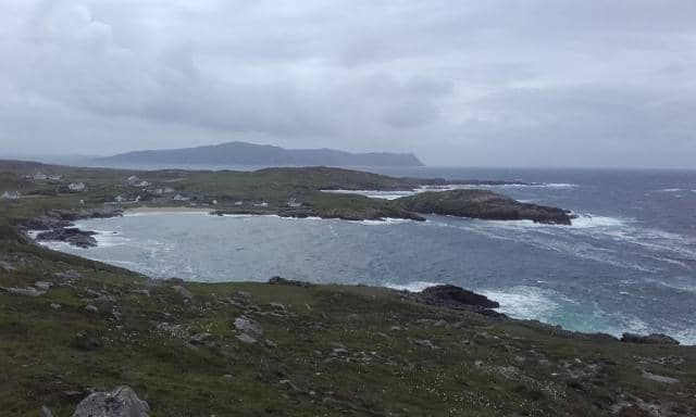

Falls of sleet are likely along with some hail and isolated thunderstorms today, Saturday, before gale force winds along exposed coasts on Sunday
Cold and crisp this morning, Saturday, in Donegal with scattered wintry showers, frost and icy patches, Met Éireann say.
It will turn cloudier for a time as showery rain tracks eastwards across the county through the afternoon and early evening followed by further showers. Falls of sleet are likely along with some hail and isolated thunderstorms. Light southerly winds will increase moderate to fresh and gusty for a time. Highest temperatures of 4 to 6 degrees.
Cold tonight with clear spells and some wintry showers, mainly in the west of the province but becoming more isolated through the night. Lowest temperatures of -3 to 0 degrees with frost and ice developing in mostly light to moderate southerly winds, backing southeasterly towards morning.
Dry and bright at first tomorrow, Sunday, before turning wet and windy in the afternoon with strong to near gale force southeasterly winds developing in the morning, with gale force winds along exposed coasts. Rain will move up from the south through the afternoon, clearing in the evening to scattered showers following with a chance of thunderstorms. The winds will veer southerly and will ease moderate to fresh as the rain clears. Highest temperatures of 4 to 8 degrees.