
ALERT: Met Éireann's five-day forecast has one sinister prediction for next week
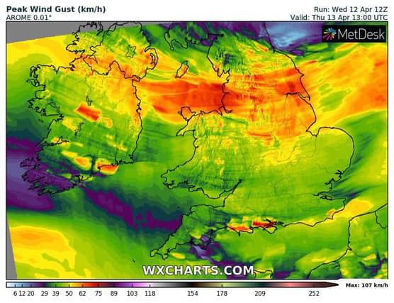

Looks likes it to be good for a while but then things will take a turn...
Met Éireann's five-day forecast has one sinister prediction and it comes right at the end of the forecast.
Saturday
Dry at first on Saturday with sunny spells but cloud in the southwest will gradually extend across the country with outbreaks of rain and drizzle following. Driest in the east and southeast.
Highest temperatures of 9 to 12 degrees with moderate southerly winds developing, fresher at times in the west and northwest.
National Outlook
OVERVIEW: Becoming drier and milder as high pressure is set to dominate our weather.
Saturday night: Largely cloudy with patches of light rain and drizzle. Southerly winds will fall light allowing mist and fog patches to develop. Lowest temperatures of 6 to 10 degrees.
Sunday
A dull start with patchy outbreaks of light rain and drizzle along with lingering patches of mist and fog. Becoming drier with some sunny spells developing as the day goes on.
Mild with highest temperatures of 14 to 17 degrees generally, possibly reaching 18 degrees, with light to moderate southerly breezes.
Sunday night: Mostly dry with a mix of cloud and clear spells, and just some spots of light rain and drizzle. Staying mild overnight with temperatures not falling below 8 to 10 degrees in light to moderate southerly winds, fresher in the west. Some mist and fog patches will also develop.
Monday
A good deal of cloud in the morning with patchy outbreaks of rain and drizzle. The rain and drizzle will die away through the afternoon as sunny spells develop.
Highest temperatures of 13 to 16 degrees in mostly moderate southerly breezes. Dry overnight with long clear spells. Fog will form in light southeasterly or variable breezes. Lowest temperatures of 3 to 7 degrees.
Tuesday
A mostly dry and sunny day with just isolated showers. Highest temperatures of 15 to 18 degrees generally, cooler near southern and eastern coasts due to an onshore breeze.
Further outlook: Current indications suggest that Wednesday will be a cooler day before turning milder again for Thursday. Both will be mostly dry days with just a scattering of showers.
High pressure will then likely decline allowing for more unsettled conditions to develop.