
Met Eireann issues severe weather warning for Donegal with Storm Isha on the way

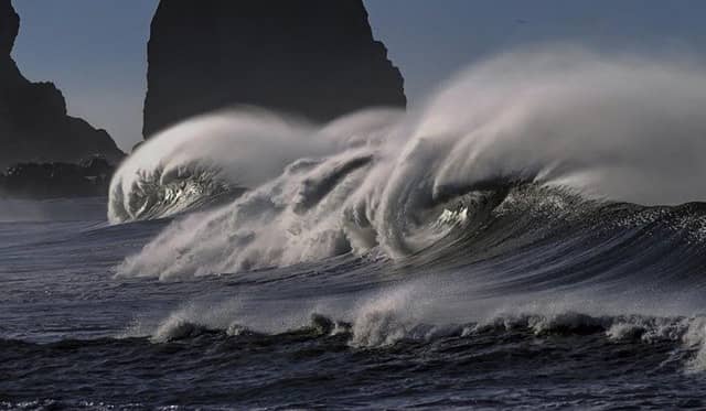

It will become very windy during Sunday as Storm Isha tracks to the northwest of Ireland, with very strong and gusty southerly winds developing countrywide, with strong gales and high waves along coasts
Met Éireann, the Irish National Meteorological Service, have said that Storm Isha is expected in the county come Sunday.
They have issued an orange weather warning from 5pm Sunday to 5pm on Monday.
"Very strong southwest to west winds with severe and damaging gusts," they said. "Impacts include large coastal waves with wave overtopping, very difficult travelling conditions, fallen trees and damage to power lines.
"Today, Saturday, will be cloudy and quite windy with a fresh to strong and gusty southerly wind. This morning there will be scattered outbreaks of rain and drizzle. It will become drier for a time later this morning and into the early afternoon, but more rain will develop later in the day, turning heavy at times in the west and southwest. Highest temperatures of 8 to 11 degrees.
"Wet and windy early tonight, with fresh to strong and gusty southerly winds and heavy rain moving eastwards. It will become drier and calmer for a time, then more outbreaks of rain will move in from the Atlantic, along with fresh to strong and gusty southwest to west winds. Lowest temperatures of 3 to 8 degrees.
"It will become very windy during Sunday as Storm Isha tracks to the northwest of Ireland. Very strong and gusty southerly winds will develop countrywide, with strong gales and high waves along coasts. It will be a wet day too, with rain becoming heavy at times, particularly in the west and south. Highest temperatures of 10 to 13 degrees."