
Showers turning to more persistent rain is the forecast for Donegal today
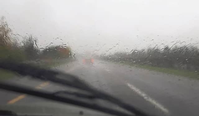

Today, Tuesday, off mainly dry with scattered outbreaks of rain or drizzle and mist, which will turn more persistent and heavy at times throughout the day
Met Éireann have forecast a mostly cloudy and damp day overall for Donegal.
Today, Tuesday, off mainly dry with scattered outbreaks of rain or drizzle and mist. The rain will turn more persistent and heavy at times in the southwest and west as we move through the day. It will be breezy with a moderate to fresh southwesterly wind, strong in the west and southwest. Highest temperatures of 10 to 14 degrees. Coastal flooding is possible due to unusually high tides.
A band of more persistent rain will move into the west and northwest early tonight and will move southeastwards overnight, becoming lighter and patchier. It will become dry with some clear spells in the northwest towards morning. Breezy with a moderate to fresh and gusty southwesterly wind. Mild for much of the night with lowest temperatures of generally 7 to 11 degrees, becoming cooler towards morning in the northwest where temperatures will fall to 4 degrees locally.
Tomorrow, Wednesday, the rain will gradually clear the northern half of the country through the morning and most areas will become dry for a time in the afternoon. It will be more of a dull and damp day further south where rain and drizzle will continue. Highest afternoon temperatures of 7 to 11 degrees with a mostly light to moderate southwest to west wind, increasing fresh at times along northern and southern coasts. Again, coastal flooding is possible due to unusually high tides.